
Power your business with the best analyzed data made available to fit your platform.
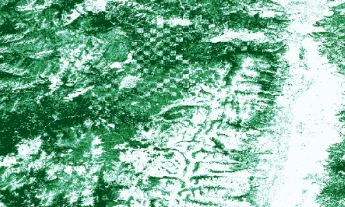
We do all the heavy lifting so you don't have to. We analyze, store, and own all the data across the Western United States.
- Obtain an API key
- Utilize your own mapping platform
- Create your own filters
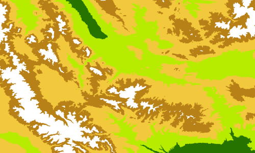
- Allow users to filter the data down
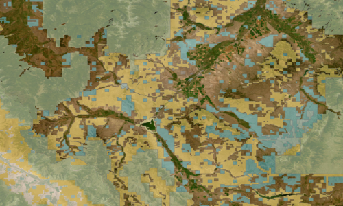
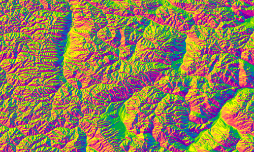
Most mapping application providers give users the necessary tools and layers to help assist in breaking down a map.
We want to help you enhance the user experience. Give them a tool that this industry has been waiting for.
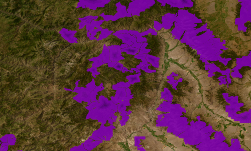
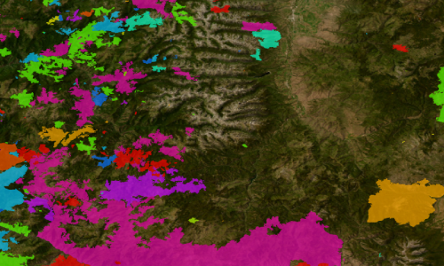
After user submits the filter, The api will create a new layer showing locations that meet the filtered criteria.
Don't want the users to filter the data? No problem, you have full control to set up pre-designed filters for your needs.


